
Cobb County ZIP Coverage
Cobb County's practical postal set includes ordinary geographic ZIPs, cross-county codes, and several special or non-geographic codes. The table groups the verified county areas in a usable way. Postal place names describe delivery, not incorporation. Always use the USPS address-level tool for a current assignment, especially for an edge address or a code listed only in county audit data.
| ZIP | Cobb areas served | Postal place | Boundary note |
|---|---|---|---|
| 30008, 30060, 30064 | Central, south, southwest, and west Marietta areas | Marietta | Mix of city and unincorporated Cobb |
| 30062, 30066, 30067, 30068 | East and northeast Cobb | Marietta | Large areas lie outside Marietta city |
| 30075 | Northeast Cobb edge | Roswell | Crosses toward Fulton County |
| 30080, 30082 | Smyrna and Cumberland vicinity | Smyrna | City and nearby postal territory |
| 30101 | Acworth and northwest Cobb | Acworth | Also crosses into Bartow County |
| 30106, 30168 | Austell and south or southeast Cobb | Austell | Postal area crosses government lines |
| 30126 | Mableton and south Cobb | Mableton | Older postal area than the 2023 city |
| 30127 | Powder Springs and west Cobb | Powder Springs | Crosses into Paulding County |
| 30144, 30152 | Kennesaw and northwest Cobb | Kennesaw | Includes unincorporated territory |
| 30339 | Vinings and Cumberland | Atlanta | Much of its Cobb area is outside Atlanta |
| 30006, 30061, 30081, 30090, 30156 | Boxes, government, or special mail | Local named post office | Do not map as residential neighborhoods |
Other special codes in official county material include 30007, 30063, 30065, 30069, 30111, and 30160. Their present residential footprints were not verified. ZIP 30102 is mainly tied to Cherokee and Bartow, and a Cobb overlap was not established in the reviewed county sources. Those entries belong in the ZIP code directory as warnings to verify, not as claims about a neighborhood.
Cobb County ZIPs Cross Local Borders
ZIP codes are routes for mail delivery. They were not drawn to match counties, city limits, school areas, voting districts, or tax jurisdictions. Cobb's clearest example is 30339. An address may use Atlanta on the last line while its parcel lies in Cobb County around Vinings or Cumberland and outside the City of Atlanta. Likewise, many east Cobb homes use Marietta even though they are not within Marietta's government boundary.
Edges create a second issue. Acworth 30101 reaches Bartow County, Powder Springs 30127 reaches Paulding, and Austell 30168 extends toward Douglas and Fulton. A Roswell 30075 address can sit on Cobb's northeast side. The postal city alone cannot tell which county clerk, permit office, court, or election office keeps the record.
Verify a Cobb County ZIP
The USPS ZIP Code Lookup is the current authority for the code assigned to a deliverable address. Enter the full street address when checking one home. The separate Cities by ZIP Code option returns acceptable postal city names, but it does not decide whether the parcel sits inside a municipality.
The USPS address form is the safest first step when a directory result has an old ZIP, a conflicting city label, or a county-edge location.
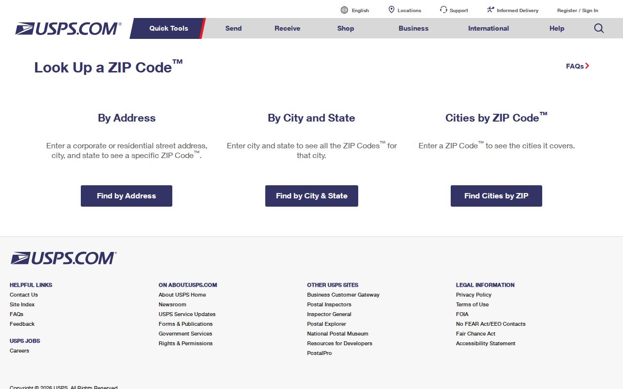
The captured lookup shows the address-based route needed before a Cobb County parcel or resident record is matched to postal geography.
Find Cobb County Residents by ZIP
No reviewed Cobb portal was verified to return every parcel or voter in one ZIP-wide public query. The simple county Property Search has no ZIP field at all. It expects a known house number and street. A sound ZIP code directory workflow therefore narrows the area first, verifies individual addresses, and then uses the official parcel record for each address.
- Check the exact mailing address in USPS and save the returned city, ZIP, and ZIP+4 when shown.
- Open Cobb Property Search. Enter only the house number and street, with no unit, city, state, or ZIP.
- Compare the parcel's situs address, parcel ID, and owner mailing address. Situs means the physical property location.
- Use Cobb GIS to place the parcel against county and municipal layers. Do not assume the postal label is the city government.
- For a full named-street chain after narrowing the postal area, use the Cobb County street directory.
Georgia's My Voter Page is an individual lookup that uses identifying information. Public voter lists have a separate statutory request route and protected fields, including VoteSafe residence addresses. The research did not establish an open ZIP filter that should be described as a public resident list.
Cobb County ZIP Search Workaround
Cobb's address gateway deliberately rejects the extra terms that people often paste into a search box. Use its documented fields, then read the parcel detail and map. This is more precise than forcing a ZIP into a field that does not accept one.
| Field | Required | Correct entry | What to omit |
|---|---|---|---|
| House Number | Yes | Street number only | Unit or apartment |
| Street | Yes | Street name | City, state, and ZIP |
| Parcel result | After search | Review situs and parcel ID | Do not substitute owner mailing address |
| GIS map | For boundary check | Compare parcel and government lines | Do not treat postal city as a boundary |
The countywide Cobb Address Repository, or CAR, is a point layer of active addresses maintained through Community Development. It differs from road centerline ranges and the Tax Assessor's parcel extract. An address can validate in one layer before another system catches up, so a recent or corrected address may need help from Cobb GIS/ITS.
Mableton ZIP Predates City Limits
Mableton's 30126 postal geography existed long before the City of Mableton incorporated in 2023. The city boundary was laid over that older delivery area. As a result, a 30126 address is not automatic proof that the parcel is governed by the new city. The reverse can also cause confusion when a nearby postal label does not match the local office responsible for a record.
This distinction has practical force. Cobb Citizen Access states that businesses inside Mableton city limits shifted to Mableton for applications effective December 13, 2023. For any permit, citation, or city record, map the parcel against the city line before sending a request. County deed, assessor, and parcel systems remain useful countywide, but a municipal department may keep the local file.
Cobb County Special ZIP Codes
Several local codes should never be shaded as if they were neighborhoods. Marietta codes 30006 and 30061 and Smyrna 30081 are non-geographic or post-office-box examples. Kennesaw 30156 also lacks a verified residential polygon. Marietta 30090 serves government and courthouse mail, so it marks an institution's mail flow rather than a block of homes.
County audit and grant records also contain uncommon codes whose current residential status could not be proved. A code in an administrative spreadsheet can be a mailing address, an anomaly, or a special assignment. USPS address-level confirmation keeps those rows from turning into false geography.
Cobb ZIP Codes and City Limits
A ZIP code directory answers a postal question. Cobb County GIS and municipal boundary layers answer the government question. Keep both values when researching a resident. The ZIP can narrow a large place name, while the parcel identifies a specific site and routes the search to the proper county or city custodian. A tax owner's mailing address may point somewhere else entirely and does not prove who occupies the parcel.
- ZIP and ZIP+4
- The five-digit code names a delivery area. Four added digits narrow delivery to a smaller segment.
- PO-box ZIP
- A code assigned mainly to boxes at a post office, not a mapped home area.
- Unique ZIP
- A code assigned to a high-volume organization or government mail operation.
- Carrier route
- The path used to deliver mail. It can change without changing a city or county line.
For planning, Cobb itself treats ZIPs as approximations and warns that they cross borders. Use them to narrow a search, not to prove jurisdiction, school assignment, voting district, or residence. The parcel, official map, and dated source must do that work.